


 TERRITORIAL COLLECTIVITIES
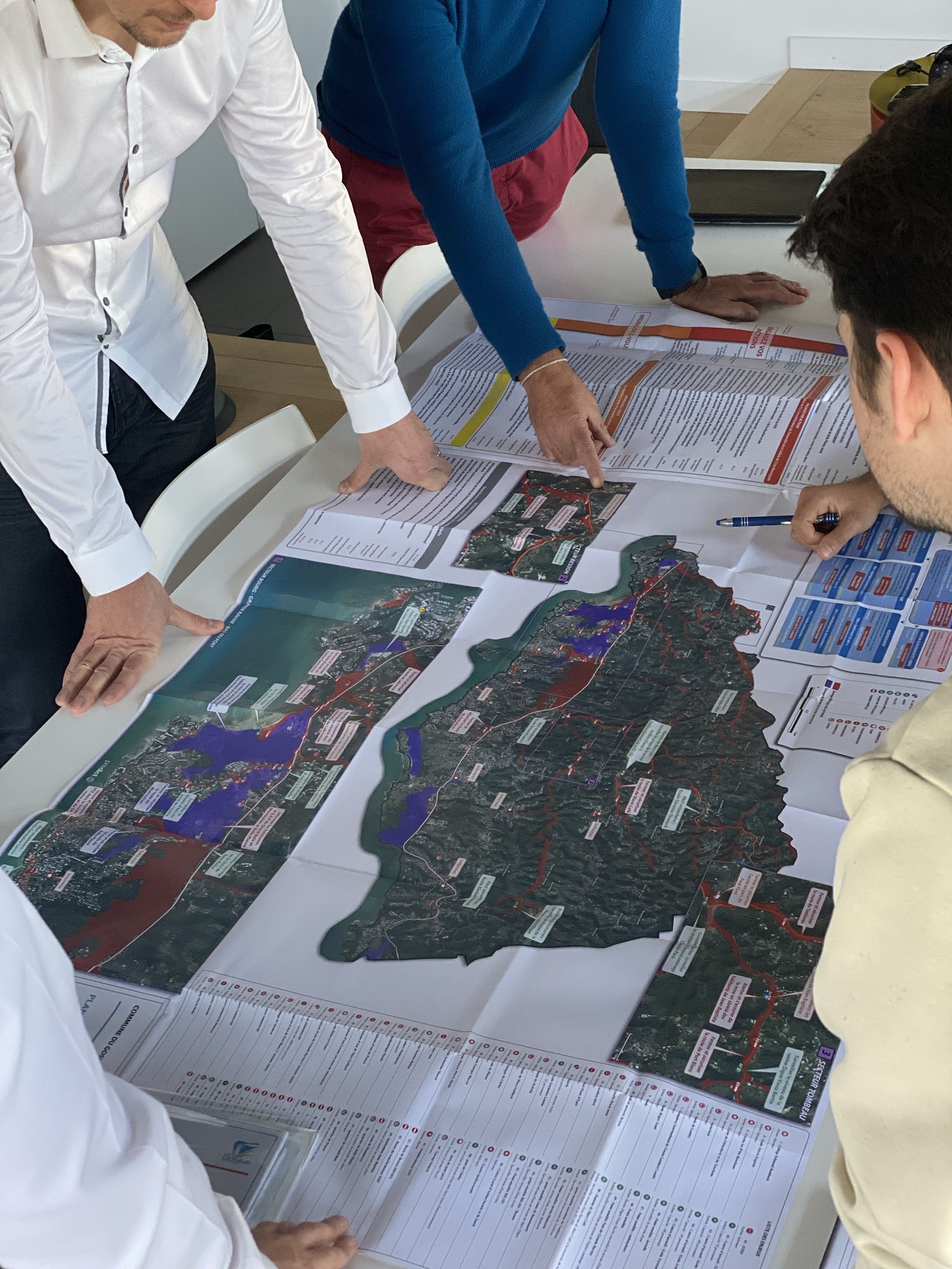
 In accordance to the regulatory obligation*, mayors are compelled to design a PCS and ensure the information and protection of the population against major risks, PREDICT Services offers assistance for its creation or updating. Based on a sharing approach, it is adapted to your territory and your problems.
It consists of an operational booklet, summary action cards and a document called DICRIM (acronym in French for Communal Information Document on Major Risks), this text aims to inform your fellow citizens in a more broad-ranging language.
In accordance to the regulatory obligation*, Intermunicipality associations are compelled to design PICS within any EPCI (acronym in French for Public Establishment for Intercommunal Cooperation) of which "at least one member municipality is subject to the obligation to draw up a municipal safeguard plan" (PCS), PREDICT Services offers assistance to create or update it.

PREDICT Services warns you prior to the event of a risky hydrometeorological phenomena threatening your territory. You are informed by e-mail, SMS, telephone and via an dedicated web-platform tailored especially for you.
On-call risk engineers watch over you and your territory 24 hours a day, 7 days a week to access the situation at the municipal level and assist you in your decision-making process for a serene management of the event.
You can rely on the analysis and supervision tools that we tailored to carry out your missions as crisis managers on local and regional scales. Our tools are adapted and configured according to your challenges, territories and vulnerabilities.
Our web-platforms concentrate hydrometeorological and cartographic information allowing a quick analysis and management of risks. Our 3D software for the analysis of hydrometeorological phenomena, support you in your missions.
References: 30,000 French local authorities rely on our teams to help them design their PCS or alert them in the event of climate risk and assist them in crisis management.
Full web or software solution, our tools allow you to supervise and manage the risks specific to your structure.