


19
February, 2026
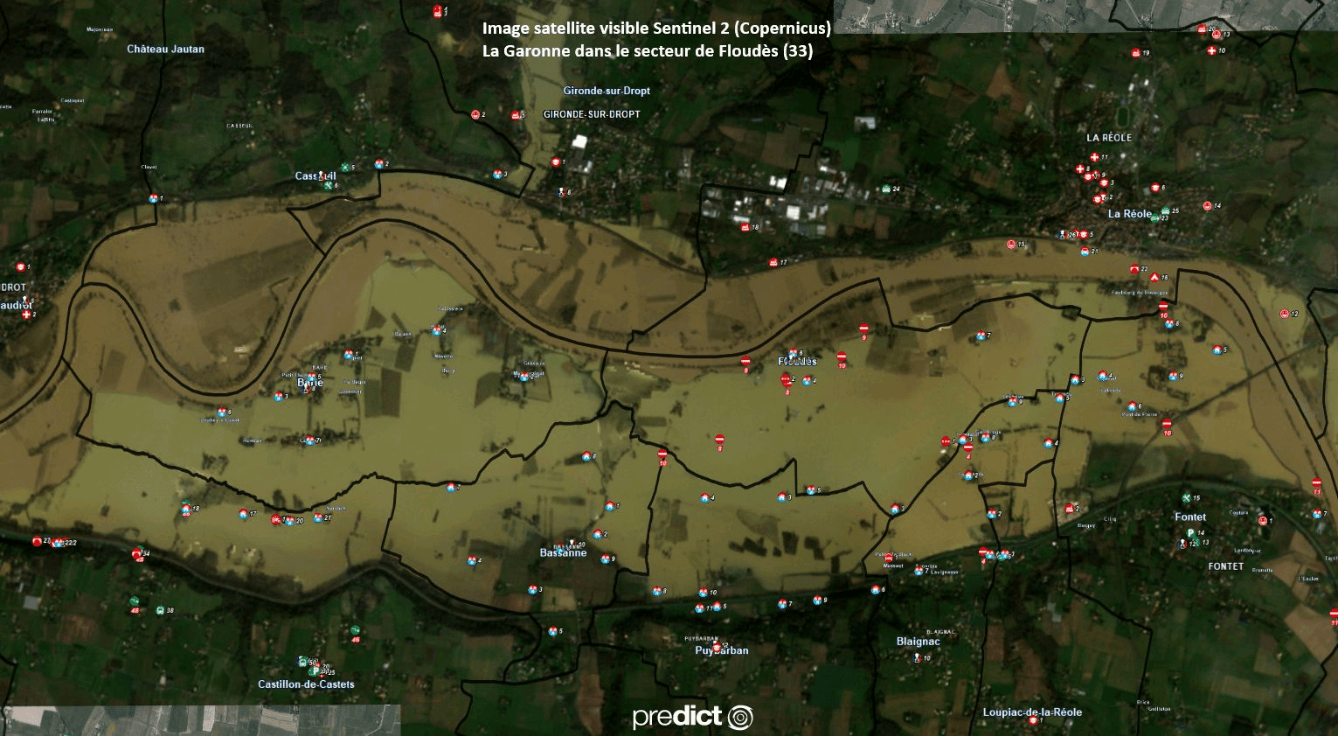
Since the start of 2026, France has been facing a series of storms and low-pressure systems, which have caused several episodes of significant flooding across the country.
In response to these events, all stakeholders involved in disaster prevention, crisis management, emergency response, and disaster recovery are fully mobilized. Their coordinated efforts aim to protect the population, limit property damage, and support the affected regions.
Analysis of data from satellite observations now allows for a better understanding and tracking of the evolution of these phenomena. In particular, it helps to :
Sentinel-2 (Copernicus) visible satellite image of the Floudès area (Gironde)
Images from the Copernicus Program’s satellites, notably Sentinel-2, clearly illustrate the extent of the affected areas, such as in the regions of Floudès (Gironde) and Cheffes (Maine-et-Loire).
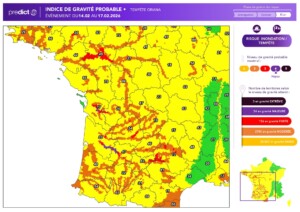
Probable Severity Index for the Event from February 14 to 17, 2026
In this context, Predict Services continues to support local authorities, businesses, and individuals by providing continuous monitoring and operational assistance tailored to the situations encountered.
Our thoughts are with the areas affected by the floods and their residents, who are facing the consequences of these events.
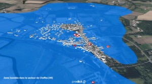
Flooded area in the Cheffes region (Maine-et-Loire)
 Retour